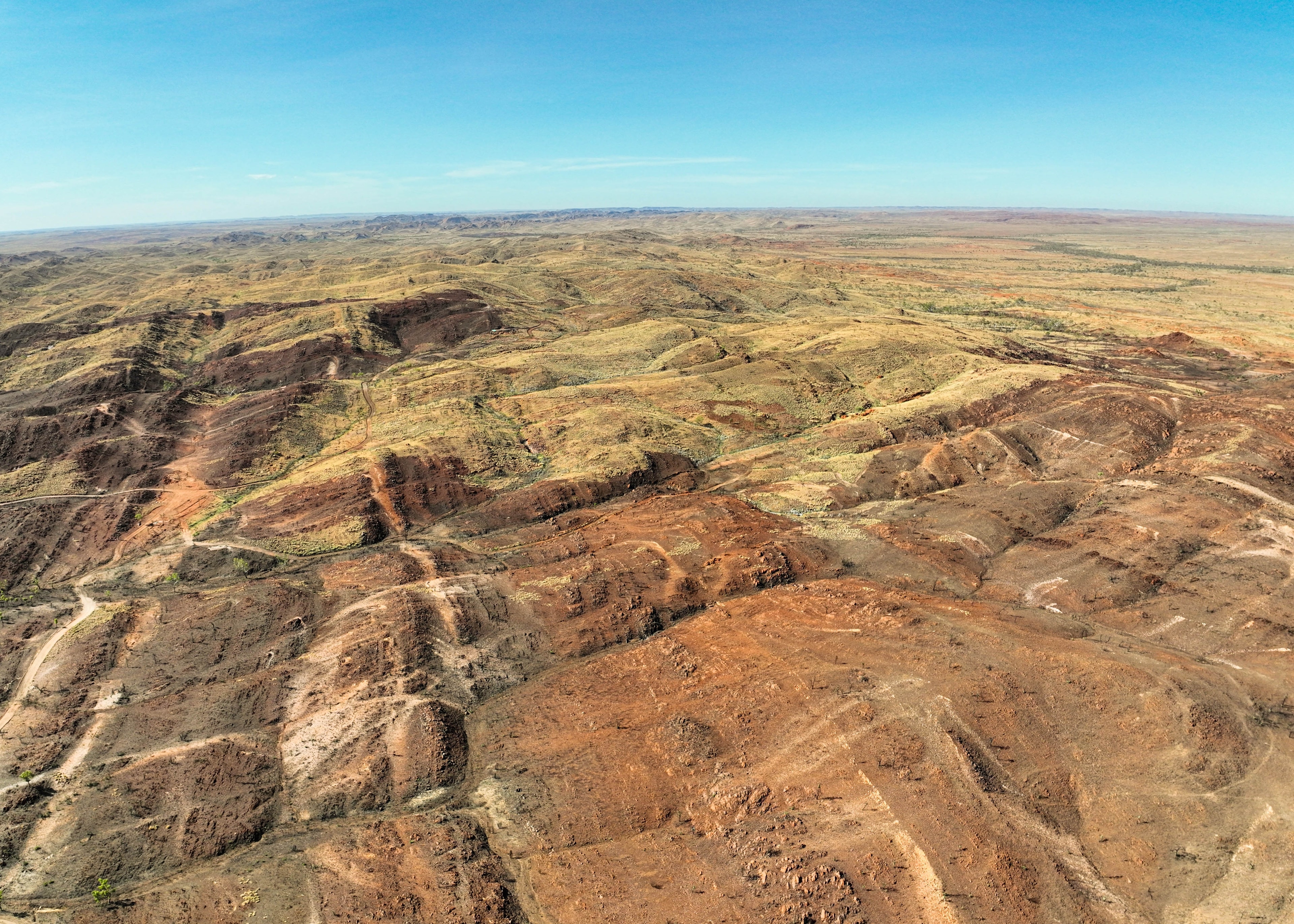
Aerial Mapping with Sophisticated Drone Technology
Revolutionize your mapping needs with our cutting-edge drone technology, providing unparalleled accuracy and efficiency. Our advanced drones capture stunning aerial imagery and rich data, enabling us to craft precise 2D maps and 3D models for a diverse range of industries.
Access up-to-date data and insights in real-time to drive informed decision-making.
Capture high-quality aerial images to gain valuable insights and identify patterns.
Overlay custom data layers on maps to visualize and analyze multiple datasets.
Transform Your Perspective
Cutting-edge drone mapping solutions that provide unprecedented insights for your business.

Revolutionize Your Industry with Snap Drone Maps
Snap Drone Maps provides cutting-edge aerial mapping solutions for industries such as construction, agriculture, and real estate. Our advanced drone technology captures high-resolution images and data, allowing you to make informed decisions, increase efficiency, and save time and resources.
Access instant aerial mapping data for quick decision making
Sub-centimeter accuracy for detailed terrain analysis
Reduce survey costs while increasing data quality
Get In Touch
Have questions about our drone mapping services? We'd love to hear from you.
Location
Australia